It’s National Dog Day! Treat Your Buddy to a Dog-Friendly CA Hike
Gorgeous treks to bark about.
-
CategoryExperiences, Life Outside, Outdoor Adventure
-
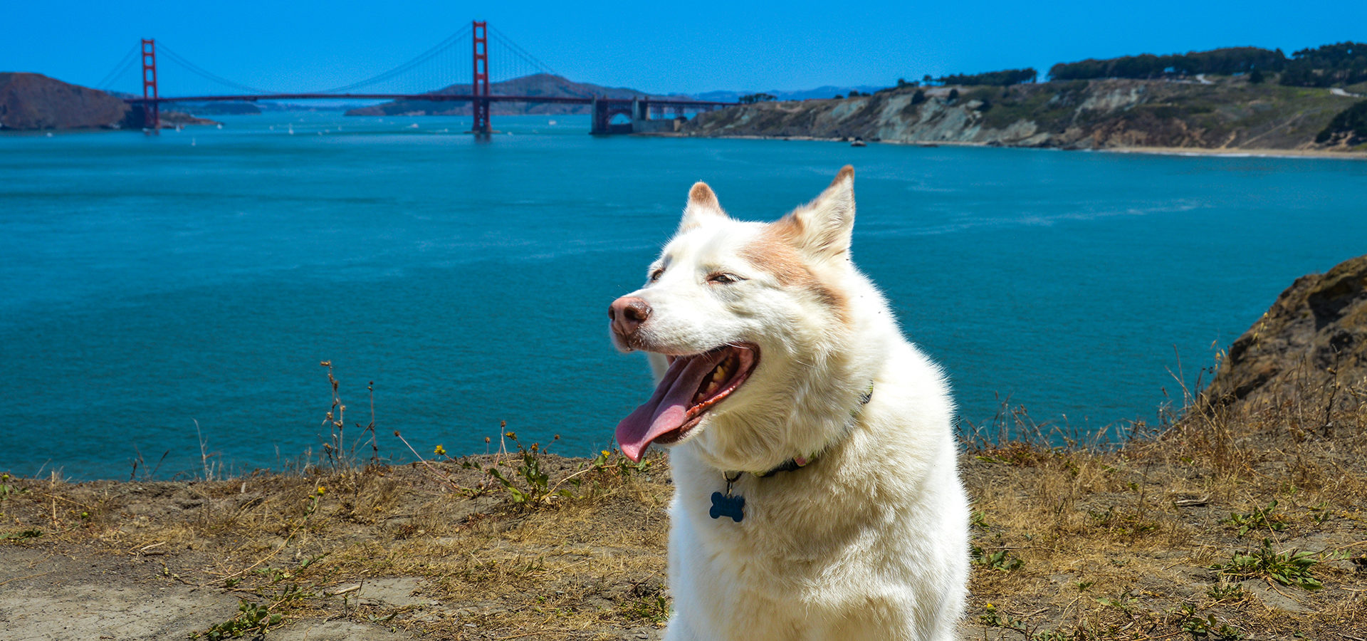
AboveCute husky hiking in San Francisco at Lands End
As we celebrate National Dog Day on August 26, let’s take a moment to celebrate all the amazing outdoor spaces we can share with our loyal companions. According to Outdoor Project, these are the best dog-friendly hikes in California. Take a look at our top three picks:
Black Butte
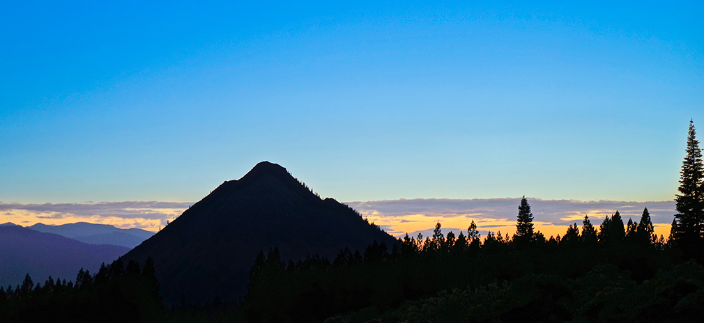
“It’s hard to miss Black Butte when travelling on I-5 between Redding and the Oregon border. The freeway wraps around the western flank of the 6,325-foot volcanic plug dome. A peak that juts over 2,000 feet above its base would normally dominate the local landscape; however, Black Butte is wedged between the 9,000-foot Mount Eddy and the local fourteener, Mount Shasta. This disparity in elevation should not deter you from climbing Black Butte. The view from the top provides an amazing perspective of the aforementioned neighboring peaks.
Although Black Butte sits right next to the freeway, the trailhead lies on the opposite side, and the trail begins like many forested hikes in the region. After a few hundred steps, this similarity ends and you find yourself on the slope of the plug dome surrounded by large and small boulders of volcanic andesite. Depending on the size of the surrounding rocks, the trail condition ranges from rocky singletrack to a route that requires hopping from one rock to the next. The end of the first broad switchback is home to this trail’s largest stand of trees and offers some shade.
The switchbacks get tighter as you approach the top of the peak. Each switchback also presents a new view to marvel at. In addition to Mount Shasta and Mount Eddy, it is interesting to look down onto I-5 and the nearby town of Mount Shasta. The Castle Crags are visible to the south, and peaks in Oregon can be seen to the north on a clear day. At the top of Black Butte, the foundation of an old fire lookout makes a great perch and can offer shelter on a breezy day.”
Lands End Coastal Trail
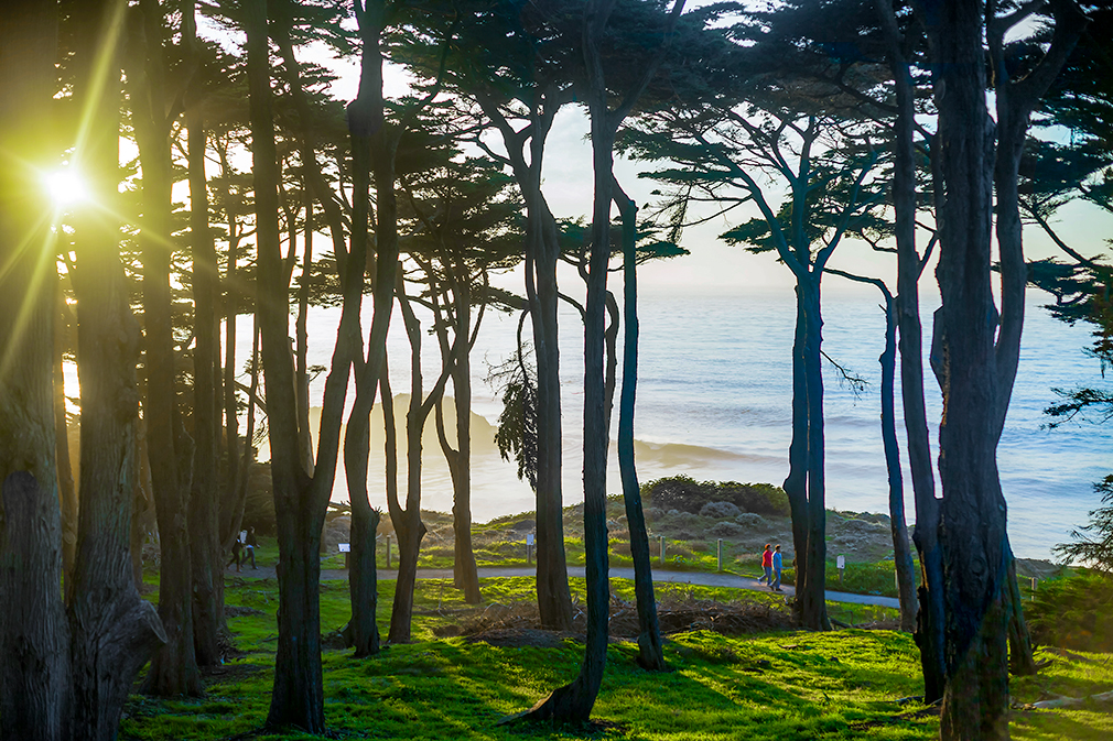
“The 1.4-mile Coastal Trail at Lands End is a favorite among San Franciscans for good reason. It offers spectacular views of the Golden Gate, the Marin Headlands and the waters of the Pacific. Traversing the coastal bluffs above the ocean between Point Lobos and the Sea Cliff neighborhood, the Coastal Trail provides hikers, runners, bicyclists and beachcombers easy urban access to the Golden Gate’s rugged southern edge.
Visitors typically begin their Coastal Trail excursion at the free parking lot near Lands End Lookout at the west end of Point Lobos Avenue. From the parking lot follow signs north for the Coastal Trail. Approached from this direction, the trail begins with a series of viewpoints and signs containing historical information on the ships that have run aground along this treacherous stretch of coastline in centuries past. Views of the Golden Grate Bridge are striking and continuous along this half of the trail.
After 0.7 miles you will come to a junction with the Mile Rock Beach trail, which provides access to the beach and the scenic overlook at Lands End Point (after a 150-foot descent down the stairs). Mile Rock Beach is a beautiful cove that can be explored at length during low tide. Be careful when swell is running, watch the incoming tide, and always keep an eye to the ocean here.
Continuing along the Coastal Trail from Mile Rock Beach junction takes you over a small hill through a blue gum eucalyptus grove. Drop down the hill for even better views of the bridge and of Baker Beach. The trail ends at Eagle Point Overlook, which borders the Sea Cliff neighborhood to the east. Return the 1.4 miles to the car the same way you came.
The majority of the Coastal Trail is flat and popular with runners. Bikes are allowed until shortly before the junction with the Mile Rock Beach trail. Part of a larger scenic bike route, bikes continue from this point up towards El Camino Del Mar.
Note: Try to plan your visit to Lands End Coastal Trail on a clear and sunny day. Although beautiful in its own right, fog will limit the views.”
Potato Chip Rock
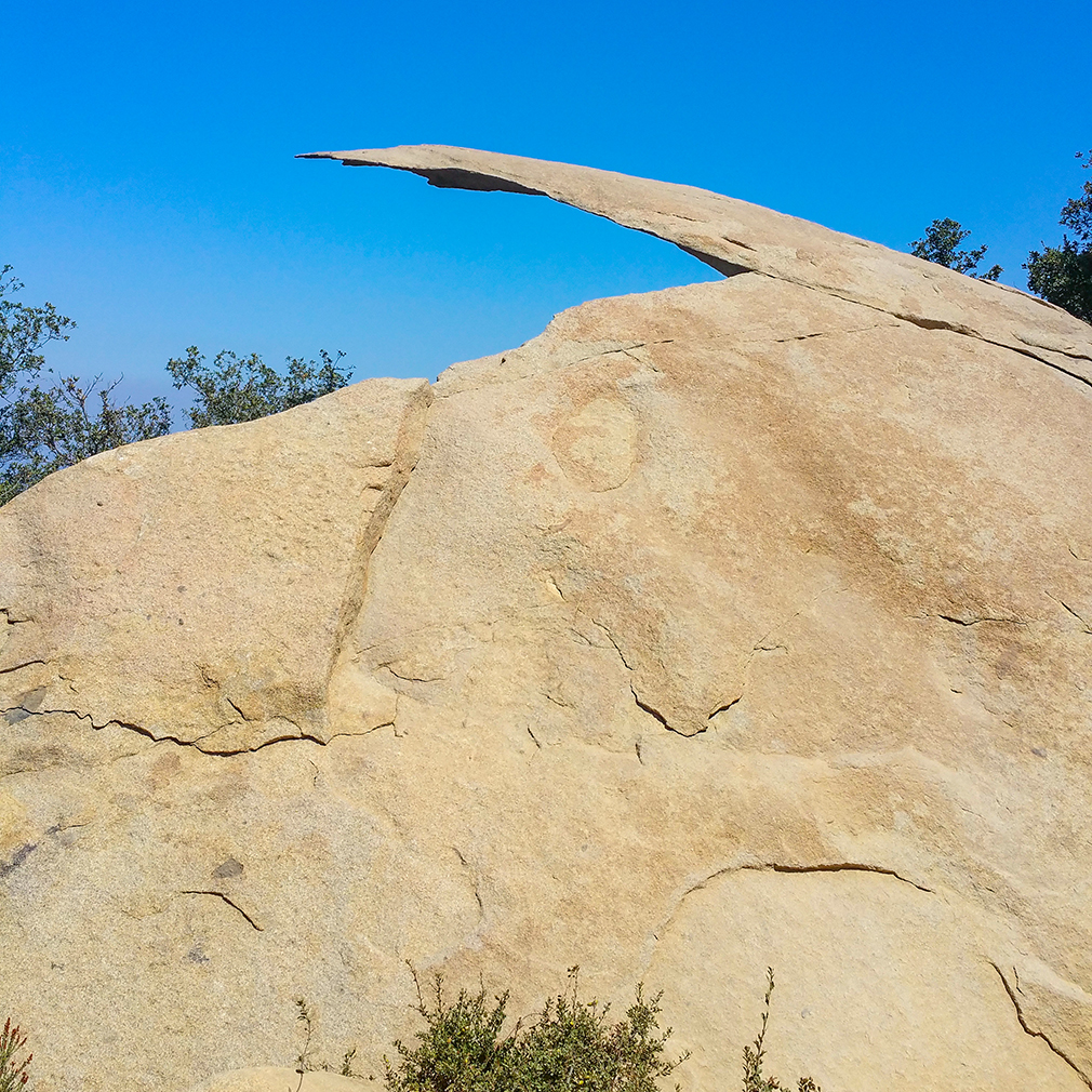
This there-and-back hike to Potato Chip Rock and the summit of Mount Woodson is quite strenuous, although you may not believe it based on the sheer number of people who complete this trail. Its popularity is due to the unique broken boulder about a quarter of a mile from the summit. Strategic cropping of a photo will give the impression that climbing out onto the rock is much more extreme than it is in reality.
Potato Chip Rock is the most popular photo op, but this hike doesn’t skimp on views. The first few miles gradually slope up around Lake Poway, providing excellent views of the lake. As the trail gets steeper, the view opens up all the way to the Pacific Ocean with the city of San Diego silhouetted against it. Chaparral and boulders decorate the landscape, and there are few trees to obstruct the view (or to offer shade). The boulders are popular with climbers, both for bouldering and top-rope climbs. Plants of the chaparral offer up tiny flowers and berries and stopping to examine these is a great excuse to catch your breath.
Be sure to take plenty of water, as the trail is both exposed and strenuous. Leashed dogs are allowed on this hike and be sure to bring extra water for your pet. The hike begins at Lake Poway Park, which is loaded with amenities like restrooms, water fountains, picnic tables, and benches.”
Get the full list of 15 here.
Photographing the Ruins of Southern California’s Forgotten Desert Communities
Check out the haunting images of Ken Lee’s new book.
Get the Latest Stories
