Where the Highway Ends: Exploring the Lost Coast
It may not be easy to access, but this impressive stretch of Northern California coastline is worth the extra effort.
-
CategoryExperiences
Most of us have traveled up the 101 Freeway from Los Angeles to points north, or braved the winding roads and extra hours on State Highway 1 to drink in those spectacular Pacific views. While Highway 1 can take you all the way from Orange County to Mendocino (650 miles in all), this stunning stretch finally merges with the 101 just north of Fort Bragg. From there, the coast disappears … with no major roads to access by car. It’s called the Lost Coast.
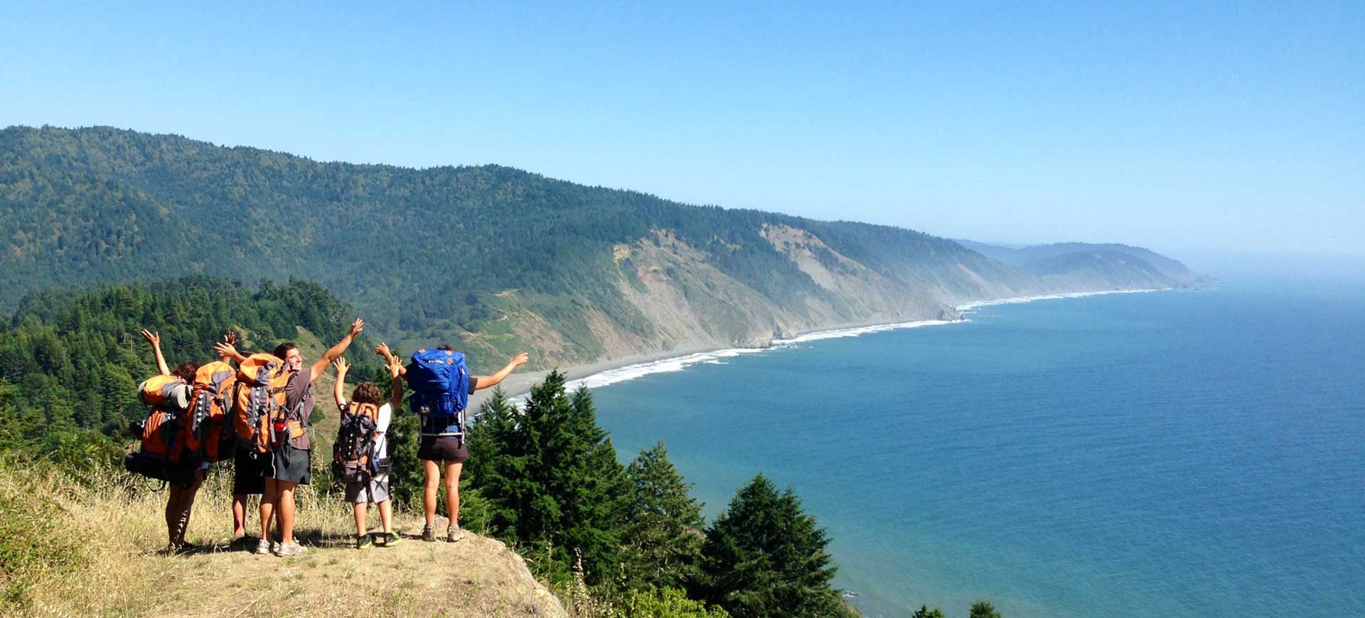
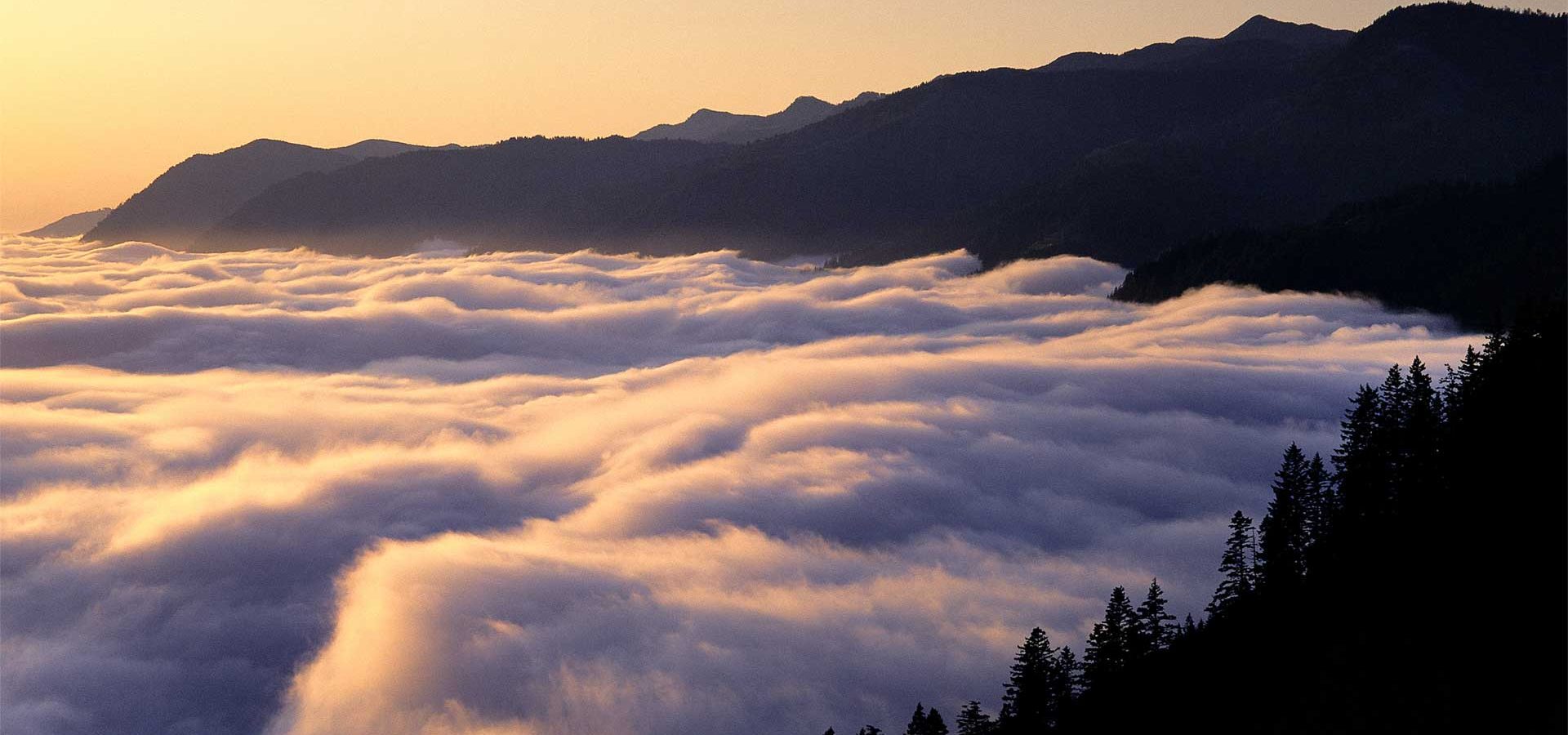
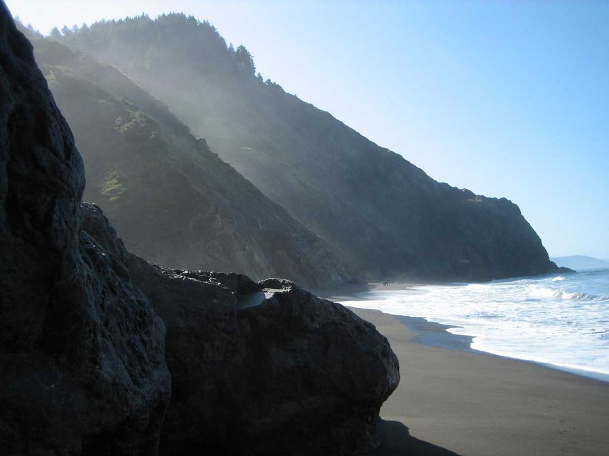
But you can reach it on foot. And this has made it a prized destination for backpackers and hikers. In all, the 25-mile Lost Coast trail stretches between Shelter Cove to the south and the Mattole River to the north, full of wild land of forests, fog, waves and sand.
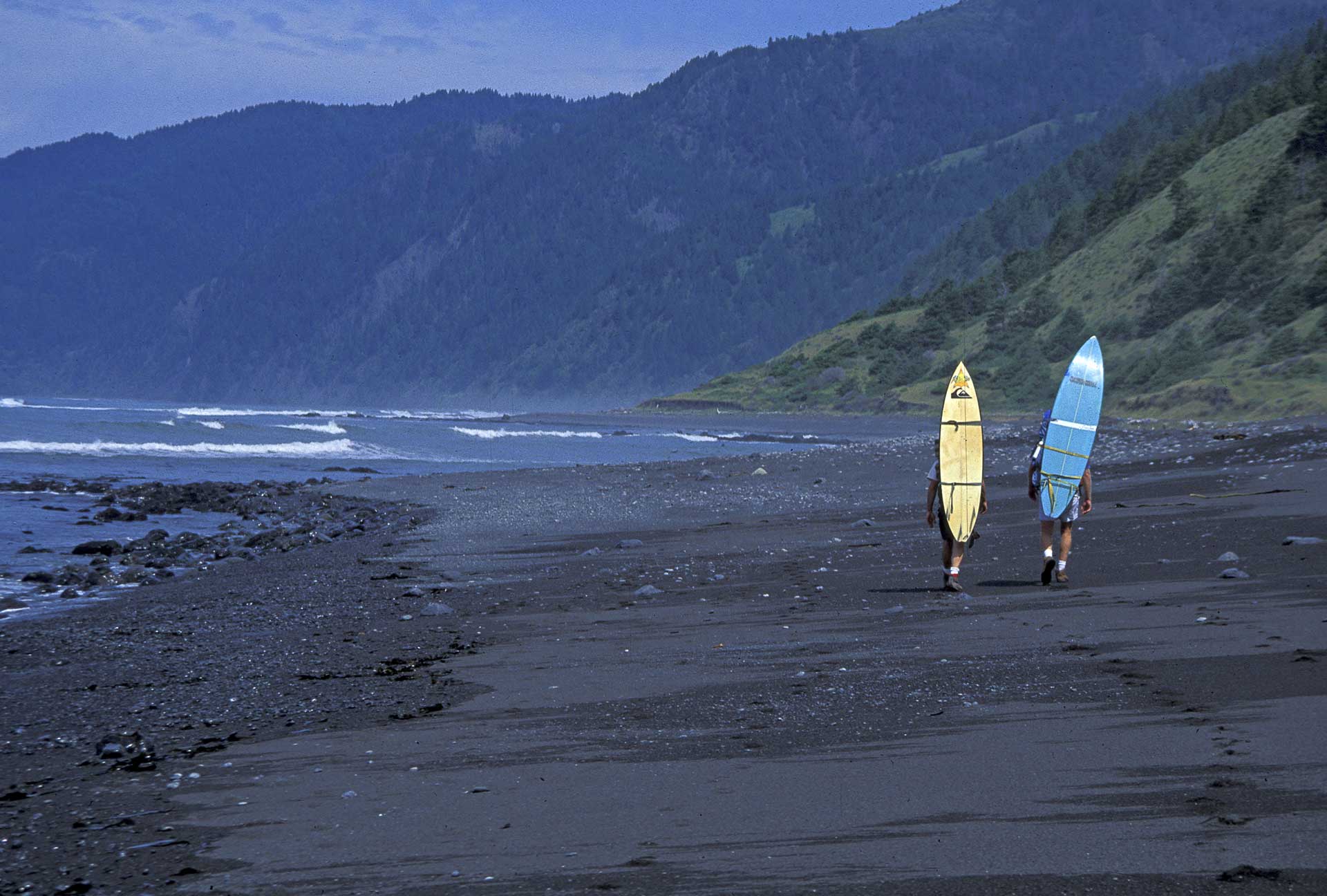
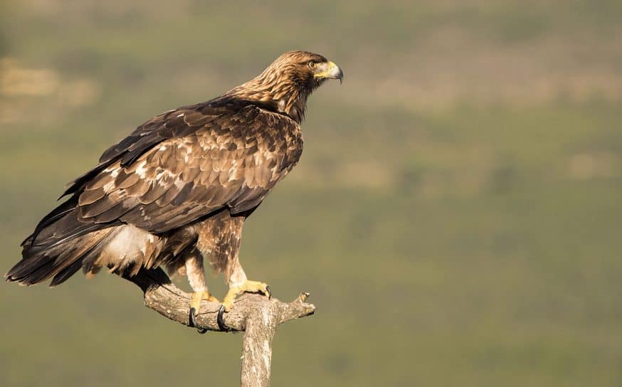
According to Visit California, the hike will take about three days one way. But the trek pays off in pure natural splendor. Along the way, “you’ll wowed by sweeping views of the King Range, its peaks soaring 4,000 feet above the Pacific. Walk a wild beach to discover shell mounds, marking the spot where Native Americans once shucked clams and other bivalves. Bring binoculars to spy impressive Roosevelt elk grazing in bluff-top prairies.
Another essential item to pack: a current tide table. When the tide is high, boulder-strewn beaches (and your trail) disappear beneath the waves. Time your tromp right or you could face a long wait in a flooded cove. To hike the entire Lost Coast Trail, leave one car at Mattole River Beach and the other at Black Sands Beach near Shelter Cove, or make arrangements with a local shuttle service.”
Sunset magazine recently compiled several sights to look for along the way. Check out all 24 here.
Read a first-hand account from Golden State’s own Jared Sayers.
Photos by Bob Wick, BLM
Monday Moods: “Catching Feelings”
Lazy, hazy vibes from up-and-coming California talent.
For Modern Architects, the Future Lived in Southern California
Wait, the Jetsons lived in Palm Springs?

Oakland “Avant Pop” Artist Still Woozy Wants to Be Your New “Habit”
Directed by Shawheen Keyani, the video is the second visual off his ‘Lately’ EP.