Dog Friendly Hikes in California’s Gorgeous Trinity Alps
Springs summits.
-
CategoryExperiences, Outdoor Adventure
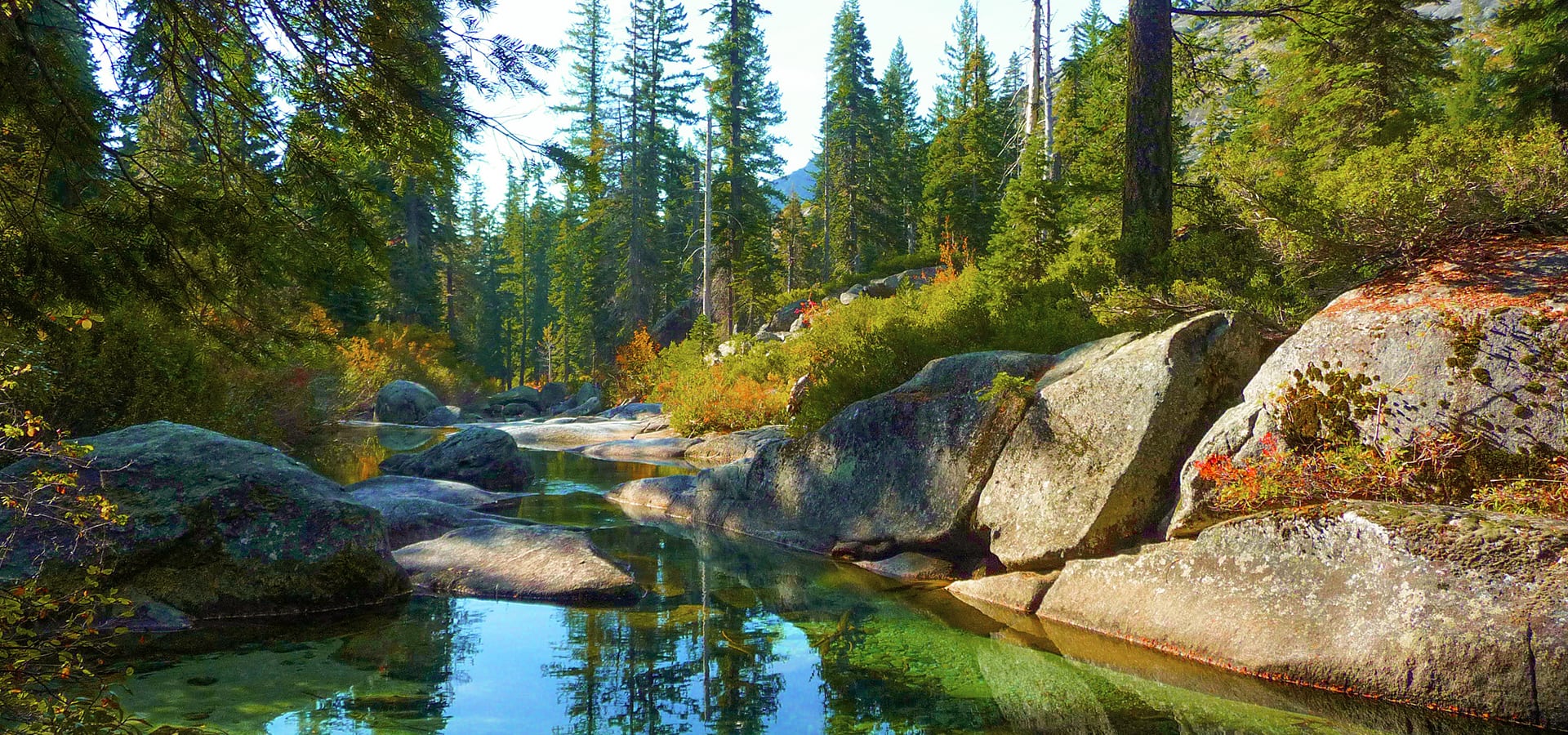
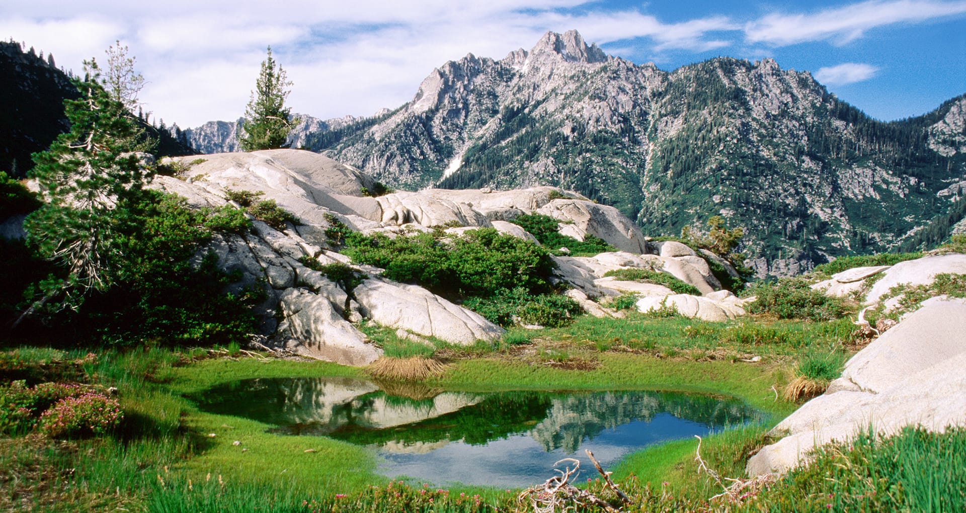
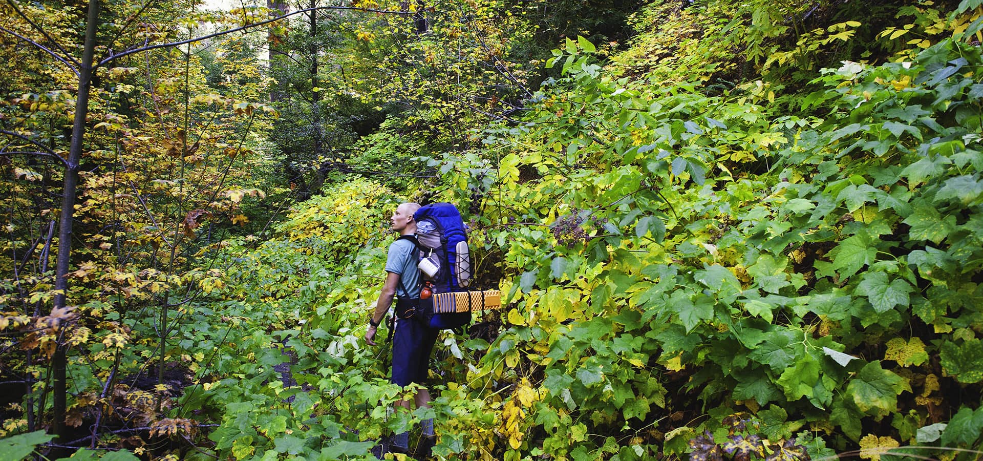
The second largest wilderness area in California, the Trinity Alps Wilderness currently offers over 600 miles of trails and embraces over 500,000 acres of land. Located between Coast Range and the Shasta-Lassen stretch of the Cascades in Northern California, this is a must visit for hikers of all levels. Chiseled granite peaks and alpine lakes dot the region, with elevations from 2,000 feet in creek drainages to 9,000 feet at summits. This wilderness offers many different trails ranging from 1.5 miles to 15 miles at varying levels of difficulty. Late spring/early summer is a great time to visit as the wildflowers start to poke through the terrain. Many of the trials are also dog friendly, including those recently featured by 7×7. Here are a few favorites:

Canyon Creek Lakes
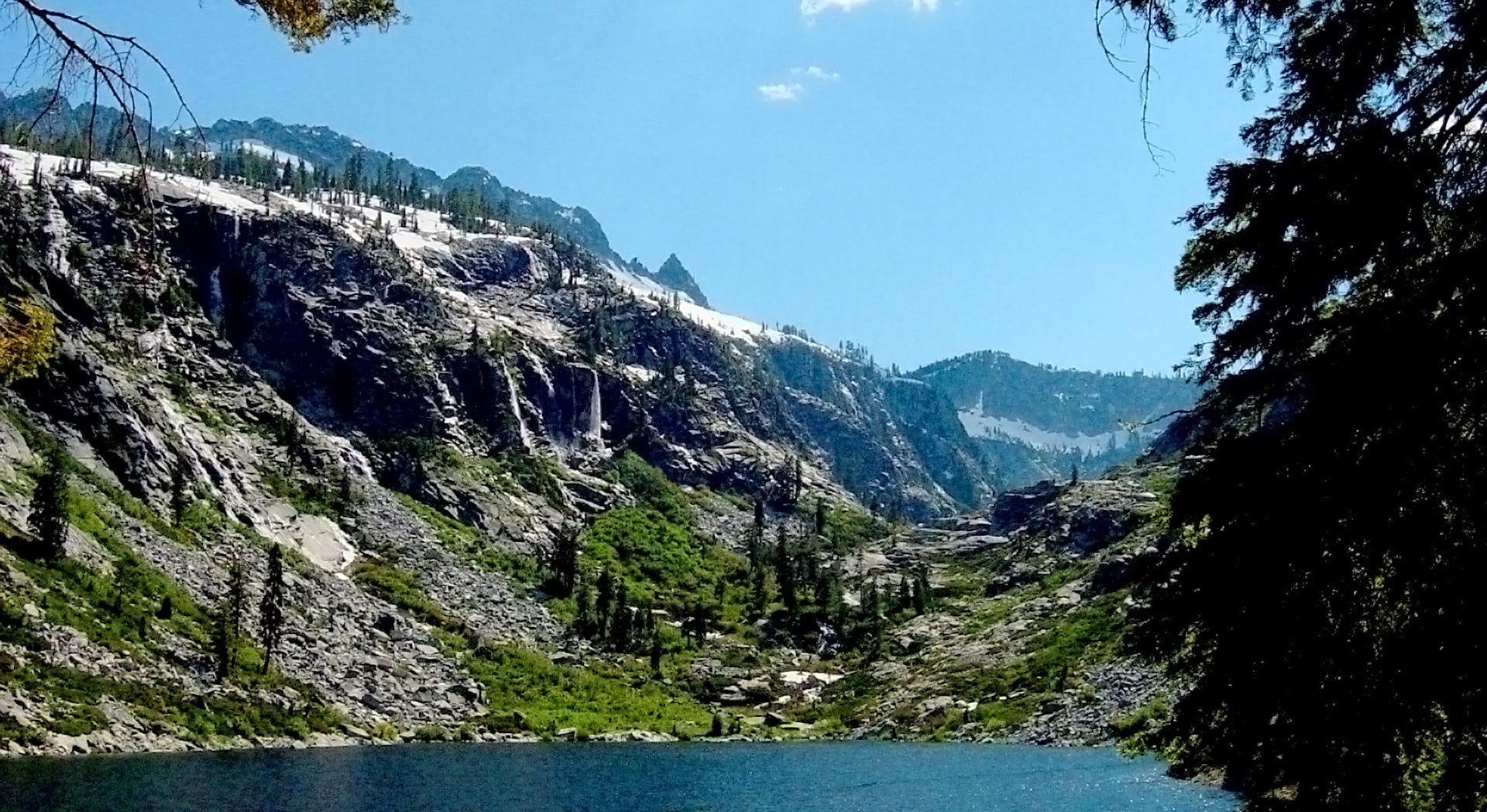
The Canyon Creek watershed is the most popular destination for hiking and backpacking in the Trinity Alps. During the summer months more than five waterfalls can be seen or heard from the trail to the Canyon Creek Lakes. During late spring and early summer over 50 waterfalls can be found in this watershed, some of which require backcountry travel to observe. On calm days the lakes in this area become near perfect mirrors and reflect the surrounding peaks and clouds.
- PROS: Stunning views. Abundant wildlife. Many backcountry sites. Great swimming spots.
- CONS: High temperatures in the summer. Very popular location for large groups.
- REGION: Trinity Alps + Marble Mountain Wilderness, CA
- CONGESTION: Moderate
- PREFERABLE SEASON(S): Spring, Summer, Fall
- DAY-USE/PARKING PASS REQUIRED: Not Required
- TOTAL DISTANCE: 17.00 mi (27.36 km)
- TRAILHEAD ELEV.: 3,100 ft (945 m)
- NET ELEV. GAIN: 3,500 ft (1,067 m)
- TRAIL USES: Hiking, Horseback
- TRAIL TYPE: There-and-Back
- DOGS ALLOWED: Yes

Boulder Creek Lakes
Boulder Creek Lakes lie within the Canyon Creek watershed. During the summer months many large waterfalls and excellent swimming holes lie adjacent to the trail and near many of the backcountry camp sites.
- PROS: Stunning views. Multiple lakes. Many backcountry sites. Great for groups.
- CONS: Little shade. Popular location for large groups. Steep scramble near the end.
- REGION: Trinity Alps + Marble Mountain Wilderness, CA
- CONGESTION: Moderate
- PREFERABLE SEASON(S): Spring, Summer, Fall
- DAY-USE/PARKING PASS REQUIRED: Not Required
- TOTAL DISTANCE: 16.00 mi (25.75 km)
- TRAILHEAD ELEV.: 3,100 ft (945 m)
- NET ELEV. GAIN: 3,400 ft (1,036 m)
- TRAIL USES: Hiking, Horseback
- TRAIL TYPE: There-and-back
- DOGS ALLOWED: Yes

Emerald and Sapphire Lakes
Sapphire and Emerald Lakes are nestled comfortably among granite ridges in the heart of the Trinity Alps. The outflow from these bodies of water mark the beginning of the Stuart Fork Creek, which meanders through mountains and meadows until it enters Trinity Lake.
PROS: Beautiful meadows. Pristine alpine lakes. Wildflowers. Abundant wildlife.
CONS: Long trail. Crowded on holidays.
REGION: Trinity Alps + Marble Mountain Wilderness, CA
CONGESTION: Moderate
PREFERABLE SEASON(S): Summer, Fall
DAY-USE/PARKING PASS REQUIRED: Not Required
TOTAL DISTANCE: 13.00 mi (20.92 km)
TRAILHEAD ELEV.: 3,000 ft (914 m)
NET ELEV. GAIN: 2,800 ft (853 m)
TRAIL USES: Hiking, Horseback
TRAIL TYPE: There-and-back
DOGS ALLOWED: Yes
Find more great hikes by clicking here.
A Golden State Tradition: Celebrating 100 years of See’s Candies
Inside California’s sweetest and most charming business.
How to Make a Punch Bowl Spritz
For our latest Mixed Messages, Haus Spirits provide the apéritif that makes this drink so smooth.
Eden Iris’ “Blue Home” Is the Ballad We All Need Right Now
A full-length album is due in the fall of 2020.
Get the Latest Stories


